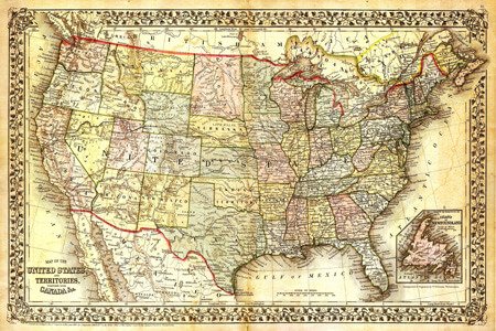
ordnance survey maps

ordnance survey map, the topographic map in 1:25 scale. 000 was found in the context of the Prussian land surveys of 1875. These ° four centimeter maps ° correspond to the map 4 cm and in the surroundings 1 km.
Primarily the cards in the Prussian area were black and white. Tricolor with black outline, brown contour lines and blue waters published the states of Baden-Wuerttemberg, Bavaria, Hesse and Saxony
The German ordnance survey map, or German army map
German army maps (1914-1918 and 1938-1945)
In the first and second world war many topographic maps existed outside of the German Reich in scale 1: 100 000. During the second world war, they enlarged the plans, and the western parts of Russia were made in a separate row of cards.
Old map material


